Another round of strong storms, excessive lightning on Friday
(WPDE) — A cold front moving into a hot, humid airmass will spark numerous strong storms Friday afternoon and evening.
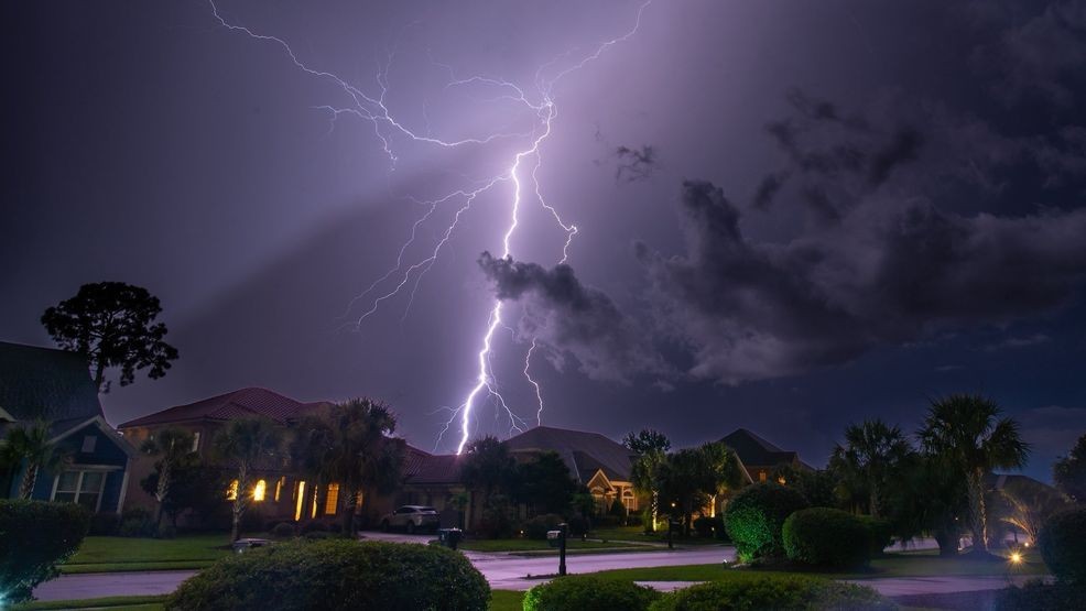
Much like recent days, storms will bring torrential rain capable of causing localized flooding, along with frequent and dangerous lightning.
While most storms will remain below severe limits, a few could be strong enough to produce damaging wind gusts. Large hail and tornadoes are not expected.
MORE: Record-setting July in the Grand Strand & Pee Dee
Storms are expected to develop after 2–3 p.m. and continue well into the evening, gradually tapering off by midnight.
The front will slide south of the area overnight, bringing an end to the heat wave.
Highs this weekend will only reach the low 80s.
A few showers may linger into Saturday, but Sunday looks mainly dry.
READ NEXT: South Carolina kicks off annual tax free weekend, big savings on school essentials
Remember to download the Weather Authority app by going to your app store and searching WPDE WX.
Make sure and turn on location and notifications.