Rain coming: Get your sun before possible showers, cooling trend
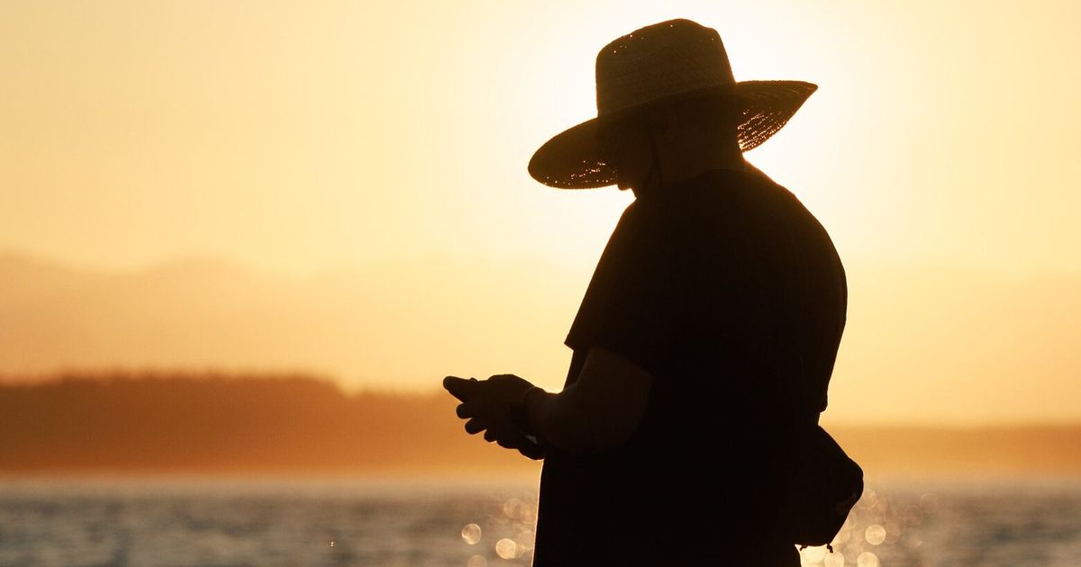
Seattle summer lovers should soak up the sun Thursday.
After temperatures climb into the low 80s, forecasters are expecting cloudy skies and a “slow cooling trend” to begin Thursday night, starting with some possible light rain showers drifting from the Cascades and over the Puget Sound region. Temperatures are expected to stay about 5 degrees cooler than average through Tuesday.
While cooler, wetter weather could dampen some people’s moods, less heat and some light rain could help decrease the region’s fire risk, said National Weather Service meteorologist Jacob DeFlitch.
“We certainly do need it. We’ve been on the drier side for the last month, and we’re in peak wildfire season, so any rain we would get would be a benefit to dampen those fire weather concerns,” DeFlitch said. “But I also love summer, so I understand.”
The weather service issued a red flag warning between 11 a.m. and 8 p.m. Thursday, warning that some possible thunderstorms and lightning in the Eastern Cascades, along with hot, dry and windy weather, could either start fires or cause flames from new and existing fires to rapidly spread. Temperatures there could climb up to 90 degrees, and wind gusts could reach up to 50 mph, according to the agency.
Much of western WA is under a general risk of thunder today. A few showers and thunderstorms are possible in the Cascades & Foothills later this afternoon. If planning to be outdoors, stay weather aware today, and have a safe shelter nearby to go to (if thunder roars).#wawx pic.twitter.com/jhWRAUA6kI
— NWS Seattle (@NWSSeattle) July 31, 2025
Thursday’s weather could also worsen conditions for firefighters battling the Bear Gulch fire on the north side of Lake Cushman in Olympic National Forest.
Warm and dry weather allowed the human-caused fire to spread significantly up steep slopes and through the tree canopy Wednesday. The fire, which was first seen July 6, has spread across nearly 2,000 acres and is less than 10% contained, according to the National Park Service.
The Mason County sheriff’s office told anyone living or camping near the Dry Creek Trail, including the Staircase Campground and areas north of Lake Cushman, to leave immediately due to fire danger, using a Level 3 evacuation order. The agency also issued a Level 1 order for people south of Dry Creek, warning them to prepare for a possible evacuation.
Smoky, hazy conditions caused by the Bear Gulch fire could continue to be noticeable in the Olympic Peninsula, but the air quality isn’t expected to worsen significantly Thursday, DeFlitch said.
Due to possible thunderstorms, flash flood watches were issued Thursday for burn scars throughout the Cascades, where wildfires have left the soil unstable and prone to collapsing. That includes the Bolt Creek burn scar along U.S. 2, where 10,000 acres were charred near Baring and Skykomish in 2022.
Watches also cover burn scars in the North Cascades near Sourdough Mountain, Easy Pass and the Chilliwack area; in Mt. Baker-Snoqualmie National Forest by the Suiattle River and Boulder and Toketie lakes; and in the Goat Rocks Wilderness in Lewis County.